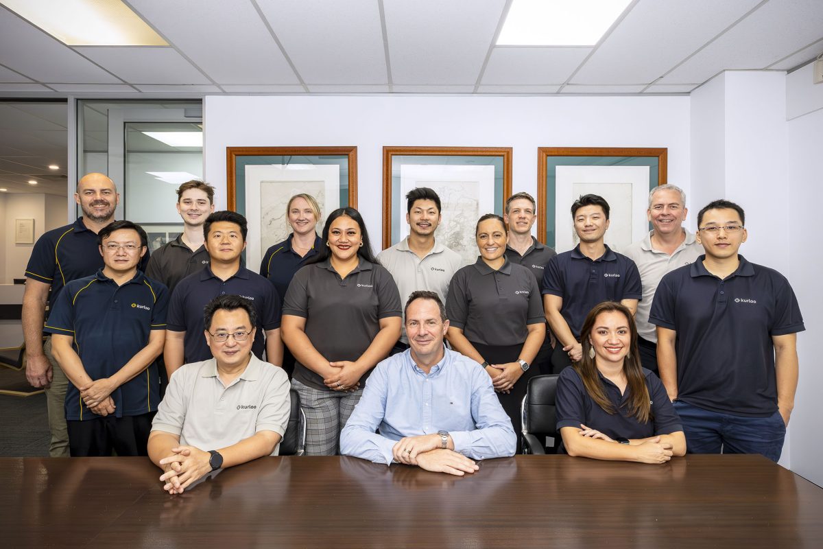
Meet the Kurloo Team
Kurloo brings together specialists in geodesy, geotechnical engineering, electronics, and software systems to deliver reliable, continuous ground movement intelligence.
Our specialised team combines deep expertise in satellite positioning, electronics design, software development, rock mechanics, and cloud computing, backed by decades of hands-on experience in applied surveying and monitoring instrumentation.
Expertise That Powers the Kurloo System
Kurloo’s monitoring system is built and operated by a multidisciplinary team with deep experience across geospatial science, engineering, and infrastructure monitoring.
Our team includes:
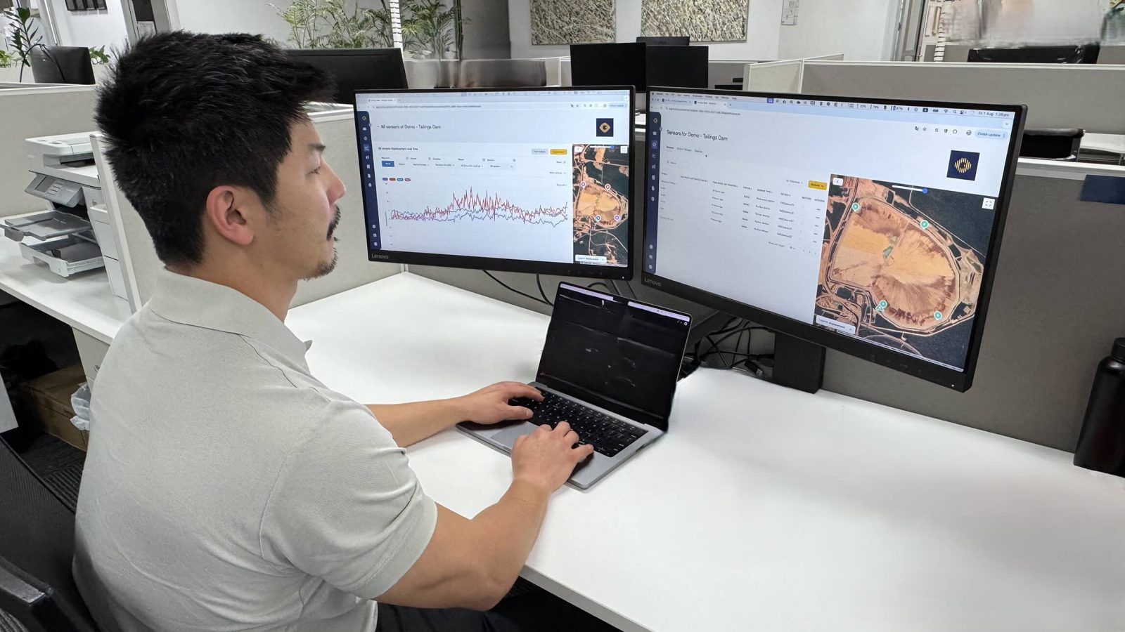
- GNSS scientists and geodetic data specialists
- geotechnical and monitoring engineers
- software and cloud platform developers
- embedded systems and electronics engineers
- field deployment and customer success specialists
Together, this team designs, operates, and continually improves the end-to-end monitoring system behind Kurloo.
Depth of Experience
Kurloo’s team brings together decades of experience across monitoring, geospatial science, and engineering.
Highlights include:
- PhD and Masters-level specialists in GNSS and geospatial science
- engineers experienced in monitoring high-risk mining and infrastructure assets
- award-winning product and monitoring system design
- in-house development of GNSS processing algorithms and monitoring software
This depth of expertise ensures Kurloo delivers reliable, defensible ground movement intelligence.
Leadership & Key Team Members
How We Support Monitoring Outcomes
Kurloo’s team works closely with clients and partners to ensure monitoring systems deliver reliable results throughout the life of a project.
This includes:
- supporting monitoring network design
- guiding installation and commissioning
- configuring alert thresholds and reporting
- helping interpret monitoring results when needed
The goal is simple: ensure monitoring data leads to confident, defensible decisions.