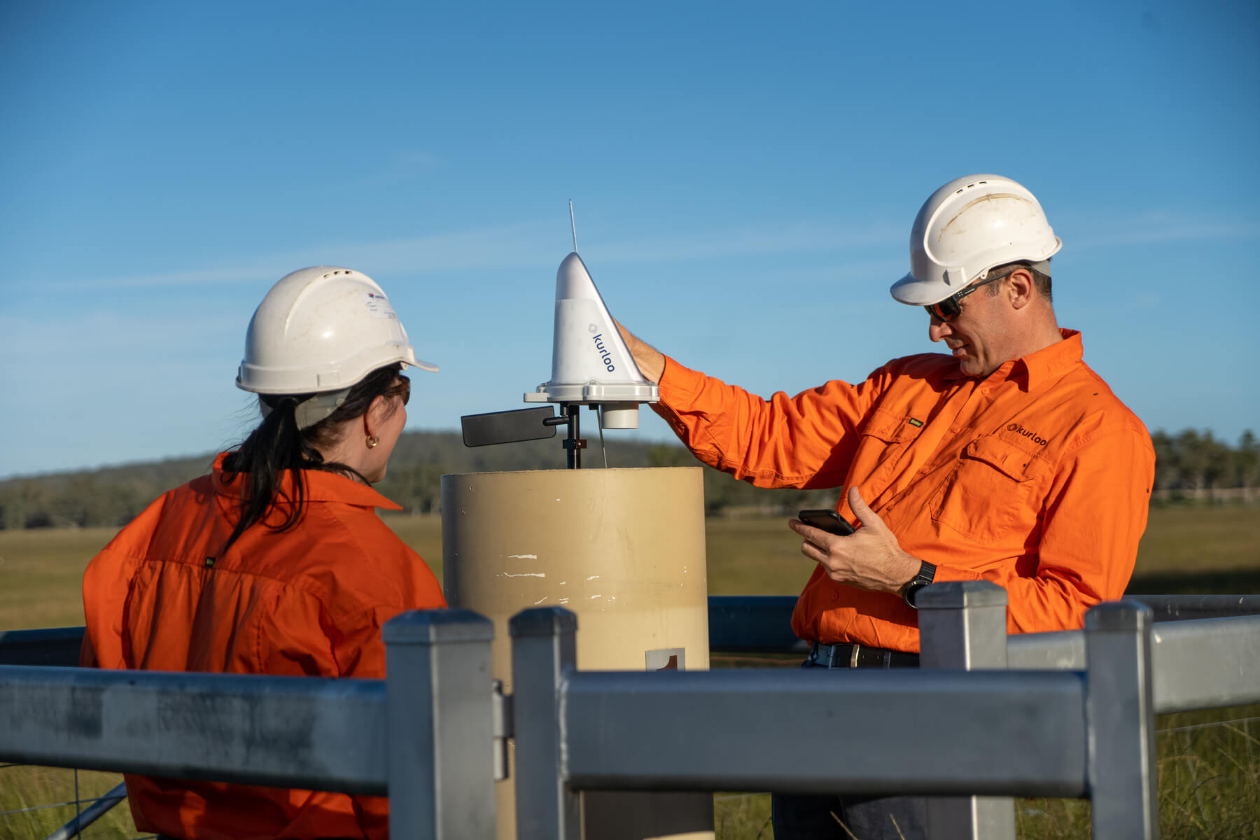
Designed and deployed for your site
Kurloo geomonitoring begins with a site-specific network design by Kurloo’s geospatial team, ensuring the monitoring geometry supports the accuracy and reliability required. Rugged, solar-powered GNSS devices are then deployed on site. A simple self-installation process, expertly guided through the Kurloo Mobile App, requires no GNSS expertise, and can support installations off the mobile network.
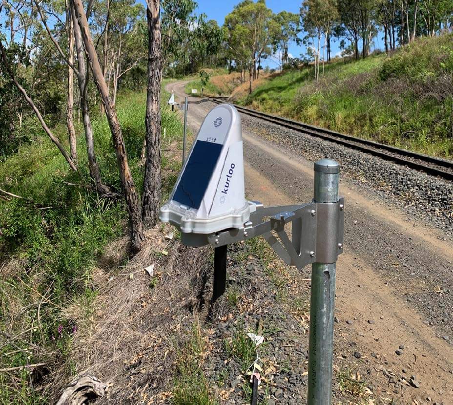
GNSS data is continuously captured
Once deployed, Kurloo devices automatically and continuously capture GNSS observations, creating a high-quality, long-term record of positional change. The system is designed to maintain data continuity through outages and extreme conditions, enabling reliable trend analysis rather than isolated measurements.

Raw data is processed using Kurloo's geodetic expertise
All raw GNSS signal and sensor data collected by the devices is expertly curated and processed using proven methods and quality controls to ensure results are credible, traceable and defensible. This processing is aligned with your specific project requirements, as part of our Managed Data Integrity service.
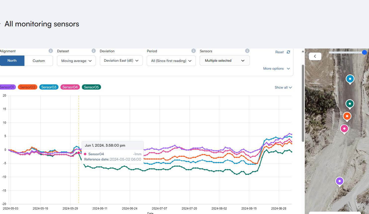
Results are delivered through Kurloo Nest software platform, Kurloo App, or API
Validated movement data is delivered through the Kurloo Nest, where users can view trends, configure alerts and generate reports as needed. The platform is designed to support engineering review and decision-making without requiring specialist GNSS interpretation.
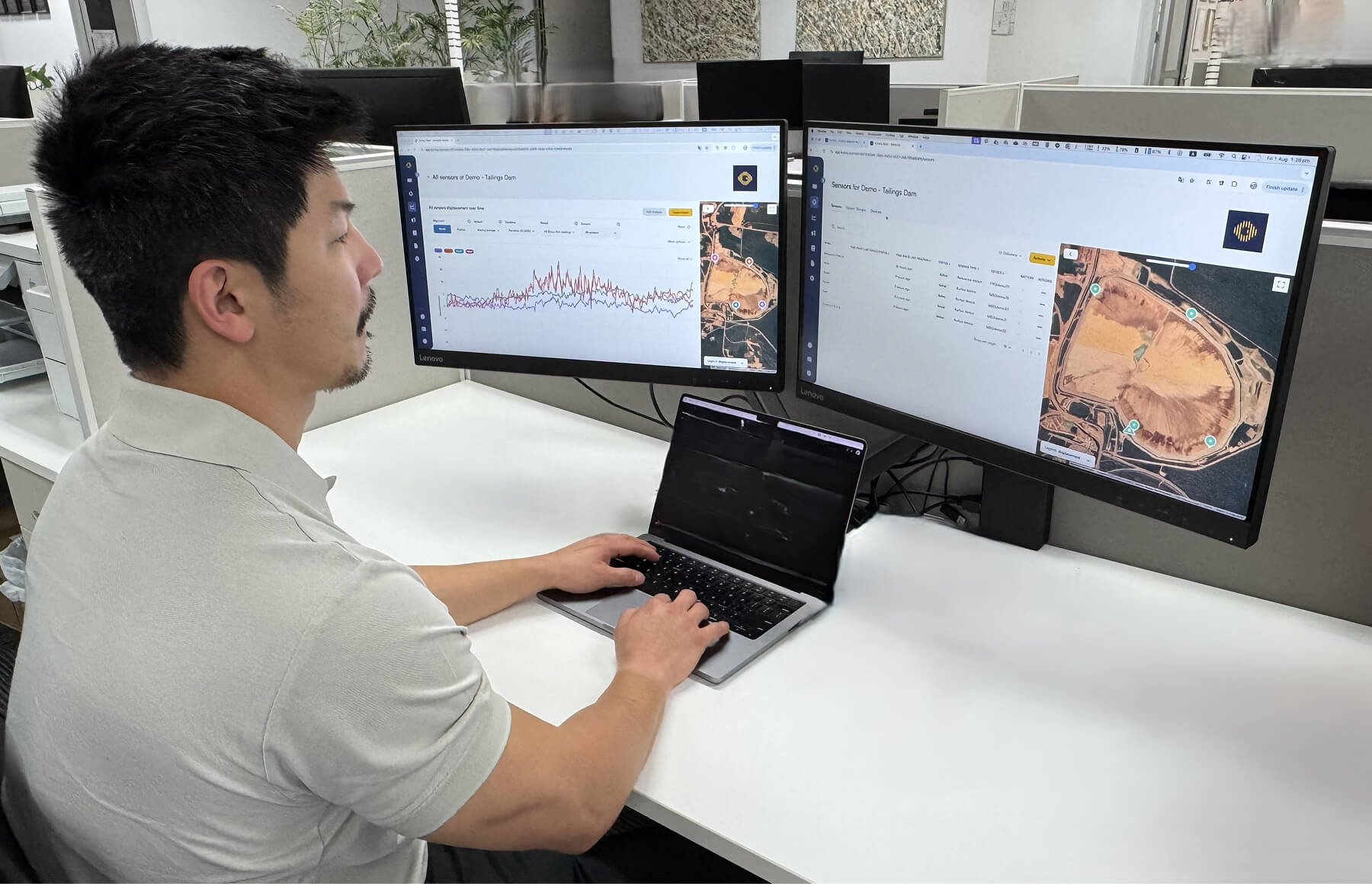
Data integrity and monitoring is actively managed by Kurloo’s geospatial experts
Kurloo provides ongoing oversight of system performance and data quality throughout the life of the project. As site conditions or monitoring needs change, the monitoring approach can be reviewed and adapted in collaboration with the Kurloo team.