Built for Professionals Who Need To Manage Failure Risk and Achieve Signoff Sooner
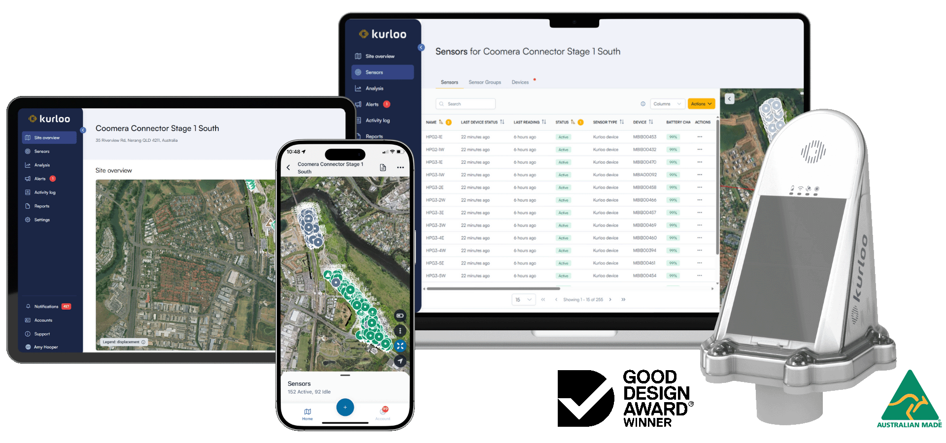
Kurloo’s unique 6D Movement Intelligence identifies signs of ground and structural failure sooner, so teams can make defensible decisions to act before risk escalates.
It’s movement intelligence that’s defensible by design.
6D Measurement captures an object’s complete movement in space by measuring both its position and orientation over time. Also known as six degrees of freedom (6DoF) it comprises three translational axes (X, Y, Z) and three rotational axes (roll, pitch, and heading).
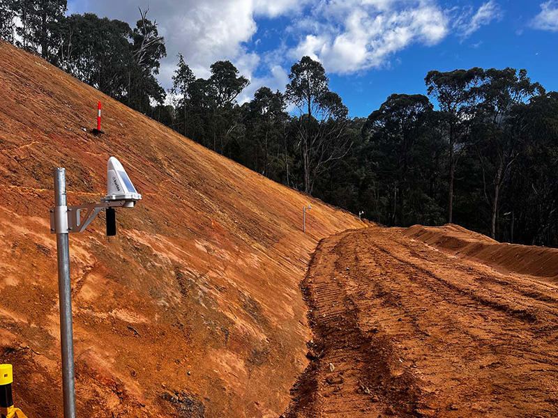
By defining precisely where an object is and how it’s orientated, 6D measurement gives teams a more accurate and reliable understanding of motion and displacement. This is critical in geotechnical and structural monitoring, where managing failure risk depends on the precise, early detection of ground movement.
How 6D Measurement becomes Defensible Movement Intelligence
The Kurloo foundation is built on Global Navigation Satellite System (GNSS) technology. It is designed to deliver accurate and defensible movement intelligence simply, affordably, and effectively.
“A highly reliable and sophisticated monitoring tool that helps my work as a geotech. I can manage geotechnical risk efficiently and effectively with Kurloo.”
Chief Geotechnical Supervisor, Global Mining Company
“The Kurloos meant we were able to take the surveyors off the ground in an area where there were 300 truck movements a day. That’s a huge safety win.”
Project Manager, Major Civil Infrastructure Project
“Compared to PRISMs or other GNSS tools, Kurloo is way simpler and technologically way more sophisticated. It’s my first choice for monitoring.”
Survey Manager, Major Highway Infrastructure Delivery Project
INDUSTRIES
Where Kurloo is making a difference
See how engineers and geospatial professionals apply defensible movement intelligence in high-stakes monitoring environments.
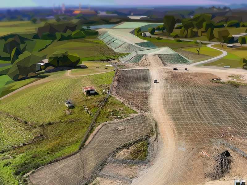
Mining
Ground Control Failures, Ground Structural Failures, Tailings Dam Failures, Rehabilitation and Closure.
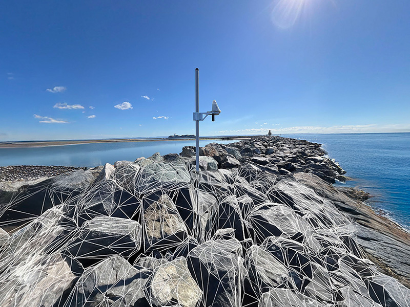
Earth observation calibration and validation, Geodetic Control Networks, Tide Gauges, Absolute Water level, GNSS Reflectrometry and Ionospheric sampling.